
John Mikkelson
Featured Artist, July 2026
I’ve always loved maps. Paper maps. The kind that used to crowd the glove compartment of any well-traveled car. The kind you would need to find your way around an unfamiliar city, or make your way from one state or country to another. They described places I might be planning to visit next, and illustrated others I might never see. I learned about so many places via these “map visits” and I have since had the satisfaction of visiting many of these in person. (Naturally, the in-person visits turned out to be far richer than the map visits, but that hasn’t dimmed my love of maps one bit!)
What really kicked my fascination into a higher gear was my introduction to topographical maps. You know, the ones with all the squiggly elevation lines that show – in precise detail – the shape of any part of the earth. I learned to picture how the land around me would look if I stood at Point A, and to accurately assess what route (and effort) would be required to get myself to Point B. My ability to vicariously journey across distant lands was expanded; it’s a unique and rewarding kind of nerdiness! So I need to fill in some blanks on how woodworking and topographical maps ended up coming together for me!
I’ve created lots of works where the wood’s natural shape or grain ends up defining an imaginary landscape – think epoxy river tables, coasters, charcuterie trays. What I have also wanted to do was to feature our actual, beautiful landscapes here in the Pacific Northwest on wood. And, last fall, my mind went back to topo maps!
In addition to the normal assortment of woodworking tools, I’ve also invested in a laser engraver for my shop. Laser engraving wood requires a clean design, and for me to consider the end result my own art, it needs to be my design. Not downloaded, or any other form of digitally passing off someone else’s work as my own. This is where my background as an artist, some Photoshop skills, and hours of painstaking work, all came together.
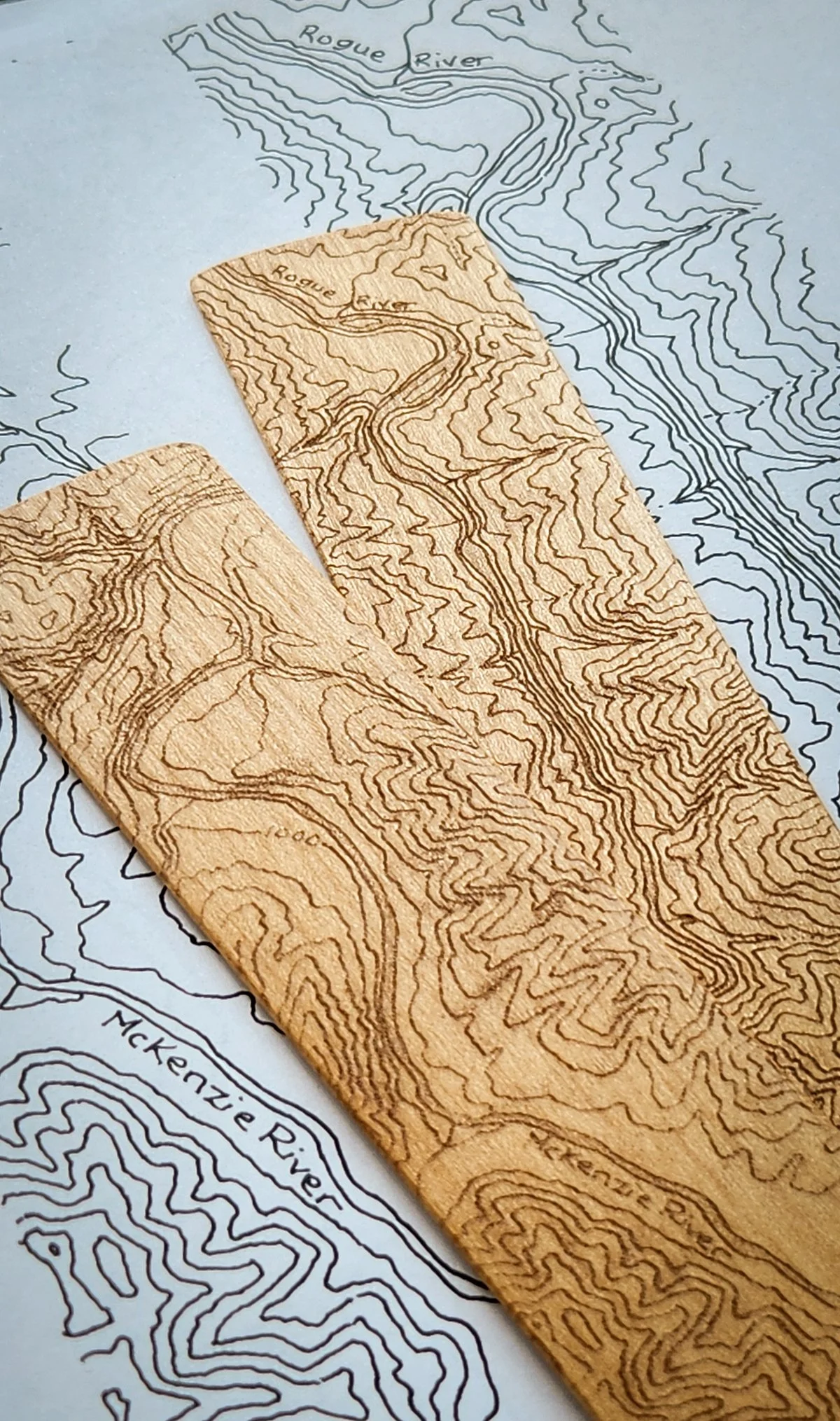
I started small, finding segments of many of our iconic Oregon rivers that, along with their surrounding terrain, I could engrave on wood bookmarks. A screenshot of an online topo map, cleaned up in Photoshop and then printed, gave me a baseline to re-draw the information I wanted. Lots of data crowds these maps, and I wanted just the river and the land to remain. Each drawing took HOURS. But in the end, I had clean images I could scan for “printing” by the laser. It worked. I was hooked. The Rogue, the Deschutes, the John Day, the McKenzie, the Grande Ronde all ended up in this initial collection.
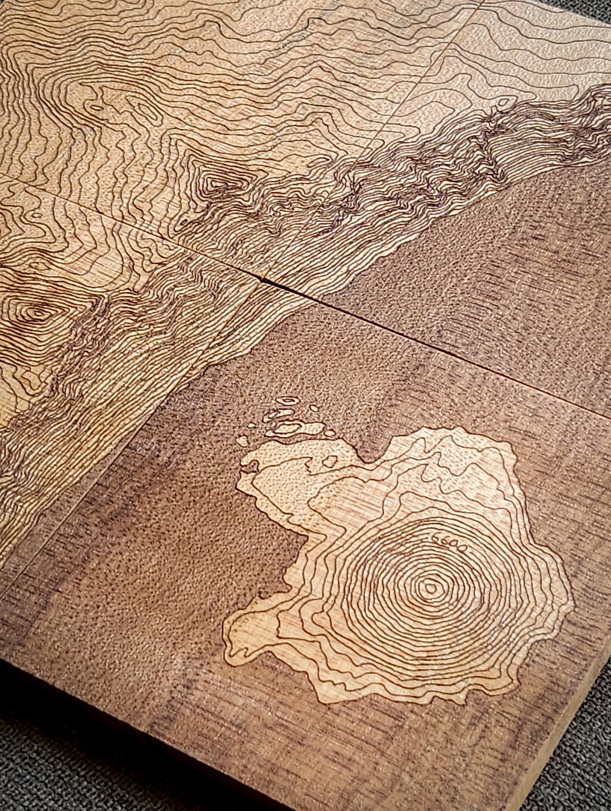
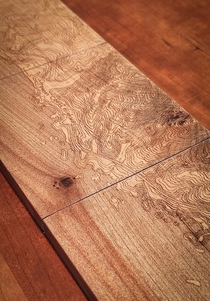
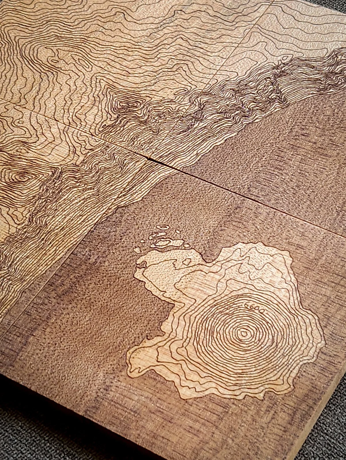
One place that repeatedly occupied my mind as I drew all that terrain, was Crater Lake and its caldera. Surely that would be too crazy to try to draw, right? RIGHT? Dear friends, let me tell you. Two different sets of coasters later (four fit together in a square) I can confirm that it was indeed crazy, but in the best way. Mount Hood and Mount St. Helens now have their rugged terrain captured thus. Like I said… Hooked.
Finally, not to be outdone, the Oregon Coast was also calling me. Two segments of our beautiful coast – Cape Perpetua just south of Yachats, and the Samuel Boardman State Scenic Corridor between Gold Beach and Brookings – were first drawn as bookmarks. Those were the “easy” versions. But an image drawn for engraving a bookmark can’t hold too much detail, and I was itching to convey more of our rocky shoreline. A set of coasters, end-to-end, would provide a larger canvas but they’d require new, much more detailed drawings. With a fire in the woodstove and a glass of Oregon Pinot Noir beside me, several winter nights went by in quiet, patient, exacting pen work. The results were worth it.